California Backpacking Getaways
As the weather warms up it is a great time to spend some time in the great outdoors. Living in California and especially here in Santa Barbara we are fortunate to have access to a variety of nature from the mountains to the ocean every direction leads to an adventure. Backpacking is a great way to experience the outdoors, exercise, and spend time with friends or by yourself in nature. Below I’ve outlined a few of my favorite backpacking trips some closer than others, but all worth the trip.
Willet Hot Springs:
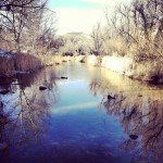
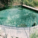
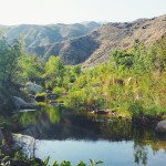
Located near Ojai the Sespe Wilderness is within the Los Padres National Forest (about a 30 minute drive from Santa Barbara). This trek starts at The Piedras Blancas trail head and follows the Sespe creek for a moderate 9.5 miles to Willet Hot springs. The springs themselves are channeled into a giant tub and range from 100-108 degrees Fahrenheit. There are many camping spots in the valley near the hot springs and crowding is not an issue. There is an ample running water source from the Sespe creek near by the campsites, however the water must be filtered. This trip is moderate and a great overnight backpacking trip for a first time novice backpacker or a great day hike during when the days are longer in the summer months.
- Sespe Creek
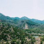
- Valley Views
- Willet Hot Springs
- Sespe Creek
- Piedras Blancas
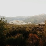
Directions from Santa Barbara: Take the 101 south, exit 70 B 33 towards Ojai, and turn right onto Rose valley Road until you reach the Piedras Blancas trail head. The Piedras Blancas are giant sandstone formations and are a sight to see in themselves. From the trail head it is a short 2.5 mile round trip detour to see them! Camping on the trail is free, but you must purchase a fire permit for any cooking stove and fire depending on the time of the year/weather conditions.
Santa Cruz Island:
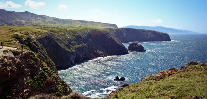
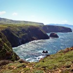
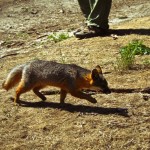
The island is located 26 miles west of Santa Barbara and is apart of the Channel Islands national park. backpacking on Santa Cruz island can be a very isolating experience as there are only 4 backpacking camping spots available under reservation. There is a chance that you could not see another human for the entirety of your trip depending on the time of year you visit. The backpacking trail on the island starts at Prisoners harbor and traverses canyons and mountains for a very difficult 4.5 miles to the Del Norte backpackers camp. The camp is located on a mountain ridge high above the water. Speaking of water there is no water available on the island so backpackers must pack in their own drinking/cooking water. Though this may deter people it is well worth the effort because the island is very beautiful. There is a variety of animal and plant species, (some invasive) that thrive on this island paradise. One of the species specific to Santa Cruz island is the Island fox once on the brink of extinction the fox population is thriving and as the islands peak predator it is a guarantee that you will have a fox encounter during your time spent on the island. From the Del Norte backpacking camp there are various trail heads that will lead you to various vistas and beaches. For the ambitious hiker you can even hike from one end of the island to the other (about 20 miles).
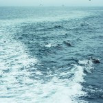
- Pods of Dolphins Racing our Boat
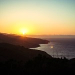
- Sunset from Del Norte Camp
- Prisoners Harbor from the Trail
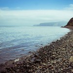
- The Shoreline
- Trail to Chinese Harbor
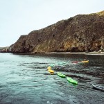
- Kayaks for Cave Exploration
- Pelican Bay
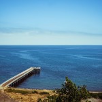
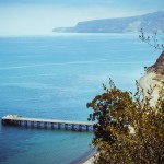
- The Pier
- Bluff Trail
- Island Fox
- Prisions harbor from the Trail to Pelican Bay
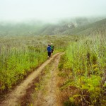
- Trail to Del Norte Camp
Directions from Santa Barbara: Book reservations for camping on the island with the National Park Service. Also it is an island so you must either have a boat or book a trip with the Island Packers. There are no fires permitted on the island, water, and campers must pack out everything they pack in because there are also no trash cans.
The Pine Ridge Trail:
This trail is a father reach from Santa Barbara, located in Big Sur it is one of the most beautiful 5 hour drives you will ever experience and getting there will only add to the journey. The trail starts near the highway at Big Sur Station and follows the Big Sur River through a canyon wedged between mountains. This a difficult hike and will put your physical condition to the test. There are various creek crossings and as the trail follows the river in its entirety water sources are never too far from reach. Because this trail is so tough there are various campsites along the trail making it very enjoyable to break up into a multi-day trip. it is a fairly vertical ten miles to Sykes hot springs from the trail head and those who make the trek in full will be rewarded with a beautiful riverside campsite and hot springs at the base of 500 year old redwoods. This is a very scenic trail with gigantic views of valleys and tree, so I encourage you to bring your camera or at least cell phone.
- Andrew Molera State Park
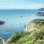
- One of Many Views from the Road
Directions: To get to Big Sur you must take the 101 North, Exiting at Highway 1 in San Luis Obispo, take HWY 1 north all the way to Big Sur Station. parking is 5 dollars a day and must be paid in advance. You must also obtain a fire permit for stoves and fires.
The Lost Coast Trail:
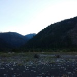
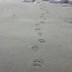
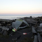
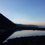
This trip is for the serious backpacker and will require advanced planning to ensure you have a safe and enjoyable trip. The trail is located in Humboldt California north of San Francisco. This trail is for the backpacker who truly wants to get lost. The lost coast is an area of California named for its treachery. When Highway 1 was being constructed, builders had to veer inland nearly 100 miles because the the land was too treacherous to build a highway on. The lost Coast trail is 25 miles from end to end and can be completed as an out and back hike or hikers often carpool by leaving one car at each end of the trail. The trail is mostly an extensive beach walk, with small sections of bluff trails, and boulder hopping. There are three sections of the trail that are tidal sensitive meaning that they need to be crossed during low tide as they are impassible at tides over 2.5 feet. Luckily there are campsites before these areas where hikers can wait out the tides or camp for the night. Halfway through the trail there is a spot all the map called Big Flat which has a remote cabin and landing strip for an airplane, which is the only other way people can access big flat other than hiking. The lost coast trail is truly one of the most beautiful hiking locations on the California coast, but it is truly lost. In one day on the lost coast trail you could find a timber rattlesnake cruising the beach, a black bear casually greeting you at your campsite, and of course surf with one of the great white sharks that frequent the area.
- Bluff Trail
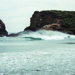
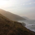
- Mountains Meeting the Ocean
- There are Black Bears Everywhere in the Lost Coast
- Beach Camping
- Big Flat Creek
Directions: take the 101 north to San Francisco, continue north of San Francisco on the 101 to either Shelter Cove trail head or Mattole camp ground depending on which end of the trail you would like to hike in from. It is recommended that hikers begin their hike from the North end of the trail as north Westerly winds frequently prevail in the area making it easier to walk south than north. Camping on the trail is free, but fire permits must be purchased at the Bureau of Land Management station in Shelter cover. Also, all hikers must carry a bear canister at all times on the trail

